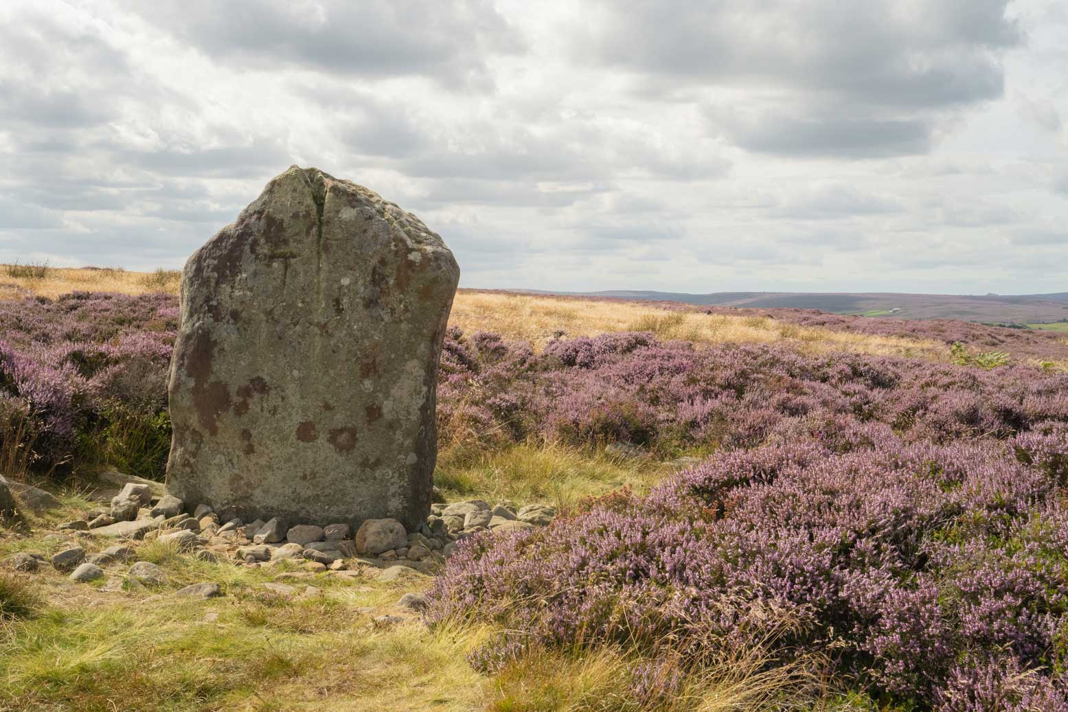
By 5,000 years ago most of the woodland on the upland plateau was being cleared away and the area was being farmed. Evidence of these early farmers can be seen throughout the moors, particularly in concentrations of small stoney mounds (clearance cairns; cairnfields) and boundary banks, made up of stones which have been cleared from the fields.

Danby Rigg has long been recognised as a well-preserved prehistoric landscape. It is one of the most extensive and complex of such landscapes known on the North York Moors, and retains valuable information about the early exploitation of the upland areas.
Discover more about Danby Rigg
There are also well-preserved settlement sites comprising enclosures and traces of huts, together with hundreds of burial mounds. The burial mounds, or round barrows, date from the early Bronze Age 3-4,000 years ago, and are a very distinctive feature of the moors landscape, often located on hill tops or ridges of high ground. Many were built from stone and within the mounds, the dead may have been buried with pots or flint tools.
From the Late Bronze Age and through the Iron Age, more imposing monuments were constructed. Huge dykes, comprising rows of banks and ditches – built with nothing more than primitive tools and the sweat of human hands – divided up the landscape into different territories.
A chance discovery by the National Park led to a major archaeological investigation in partnership with English Heritage: the new research and fieldwork revealed that the whole plateau at Roulston Scar was once occupied by a massive hillfort, believed to date back to around 400 BC. Covering an area of 60 acres and defended by a perimeter 1.3 miles long, this is the largest Iron Age fort of its kind in the north of England and one of the top 20 in size in the whole country.
What you can see today

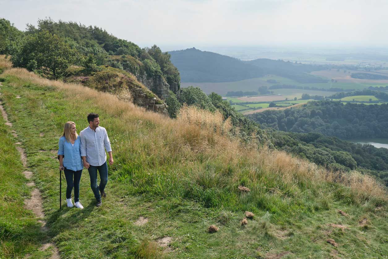
The Cleveland Way National Trail runs around the southern and western perimeter of Roulston Scar Hillfort, and through the western and northern sides respectively of Boltby Scar and Live Moor promontory forts.
Examples of the massive boundary dykes can be viewed at Cleave Dyke from the adjacent Sutton Bank National Park Centre car park.
