 With over 1,400 miles of public rights of way, spread across 554 square miles of the National Park, it's important to know where you can and can't go in the countryside.
Most of our walking routes follow established Rights of Way (paths or tracks that the public has a right to use) while others are across Open Access land (where you have a right to walk freely, without having to follow a defined path or track).
Rights of Way in the National Park are occasionally diverted or modified, and official maps (like Ordnance Survey maps) are not always immediately updated.
Make sure you stay on the right track by:
- checking all recent changes to Rights of Way in the North York Moors
- looking at our useful interactive Rights of Way map
Rights of Way
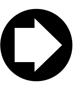
There are four types of Rights of Way (public paths) that are shown on maps and also as colour-coded arrows on signposts and waymarkers throughout the National Park.
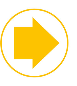 Public footpath
A recorded right of way for walkers and mobility aid users.
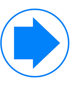 Public bridleway
A recorded right of way for walkers, mobility aid users, horse-riders and cyclists.
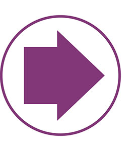 Restricted byway
A recorded right of way for walkers, mobility aid users, cyclists, horse-riders and horse-drawn vehicles only.
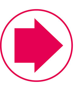 Byway
Byway
Byway open to all traffic, a recorded right of way for all users including motorised vehicles.
 Concessionary path
Not a public right of way, but where the landowner invites you to use the path (and has the right to remove that concession).
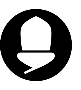 National Trail
National Trails, including the Cleveland Way National Trail are marked with the familiar 'acorn' symbol, which is often displayed with the relevant colour-coded Right of Way sign.
If you find a problem on any public right of way in the North York Moors National Park, please let us know by using this form.