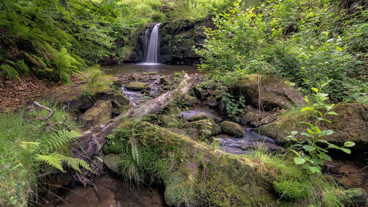
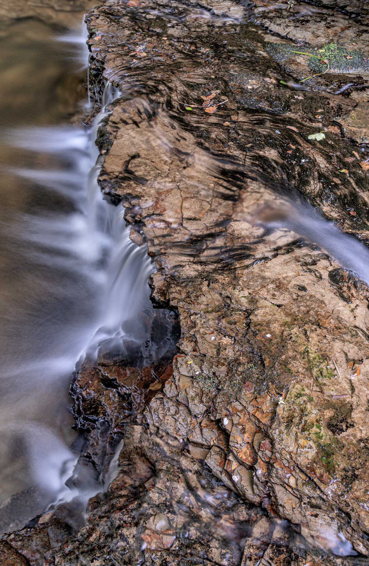
The waterways in the North York Moors have an amazing range of characters: small becks babbling over moorland, swollen torrents thundering through deep wooded gorges, and slow waters quietly meandering through flat valleys. Most of the rivers flow over stone and gravel through firm, tree-lined banks. In some places the rivers lie low, between soft, sandy, easily eroded banks that slowly but steadily slip into the water. These characteristics are a result of the surrounding geology, landform, land-use and natural processes.
Rainfall – or the lack of it – can also have a dramatic effect. Sections of river in the south of the Park can vanish in dry spells, disappearing through ‘swallow holes’ in the limestone. In heavy rain, clear shallow water can soon turn to murky brown torrents, while flooding can sweep away fences, trees, bridges and stone walls. In 1930/31 the Esk flood was so great it destroyed many of the road and rail bridges in the valley.
River catchments
The North York Moors are drained by three main river catchments, the Esk, Leven and Derwent – they are shown here on a river catchment map (pdf).
Most of the water in the north of the Park flows into the River Esk which has its source high up on the moors above Westerdale and flows east to join the sea at Whitby.
Water in the far north west of the Park flows into the River Leven, which drops down to Great Ayton and then joins the River Tees.
Water in the south of the Park flows into the River Derwent. Its source is on Fylingdales Moor from where it flows south through Forge Valley and on to the Vale of Pickering, close to Scarborough. Before the last Ice Age the Derwent flowed into the sea near Scarborough, but around 10,000 years ago a new route was carved by meltwater from glaciers. Now the Derwent turns west near Scarborough and then south to eventually join the Ouse near Goole.
Several other rivers flow from the western moors and drain into the Derwent, including the Rivers Rye, Seph, Riccal, Dove and Seven, plus Hodge Beck and Pickering Beck.
Wildlife on the River Rye
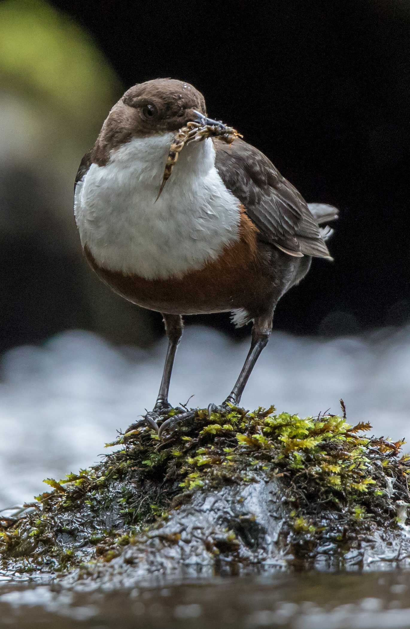
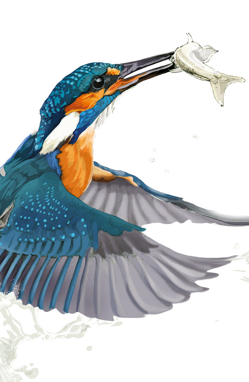
Look across a typical dale from a moor-edge viewpoint and the course of the beck in the dale bottom is only given away by the twisting line of alder trees hugging its banks. However, go down into the dale and find a bridge or a footpath along the riverbank and you might be lucky enough to spot a dipper – a small brown bird with its bright white bib – sitting on a rock above the water, or a bright blue flash as a kingfisher flies by.
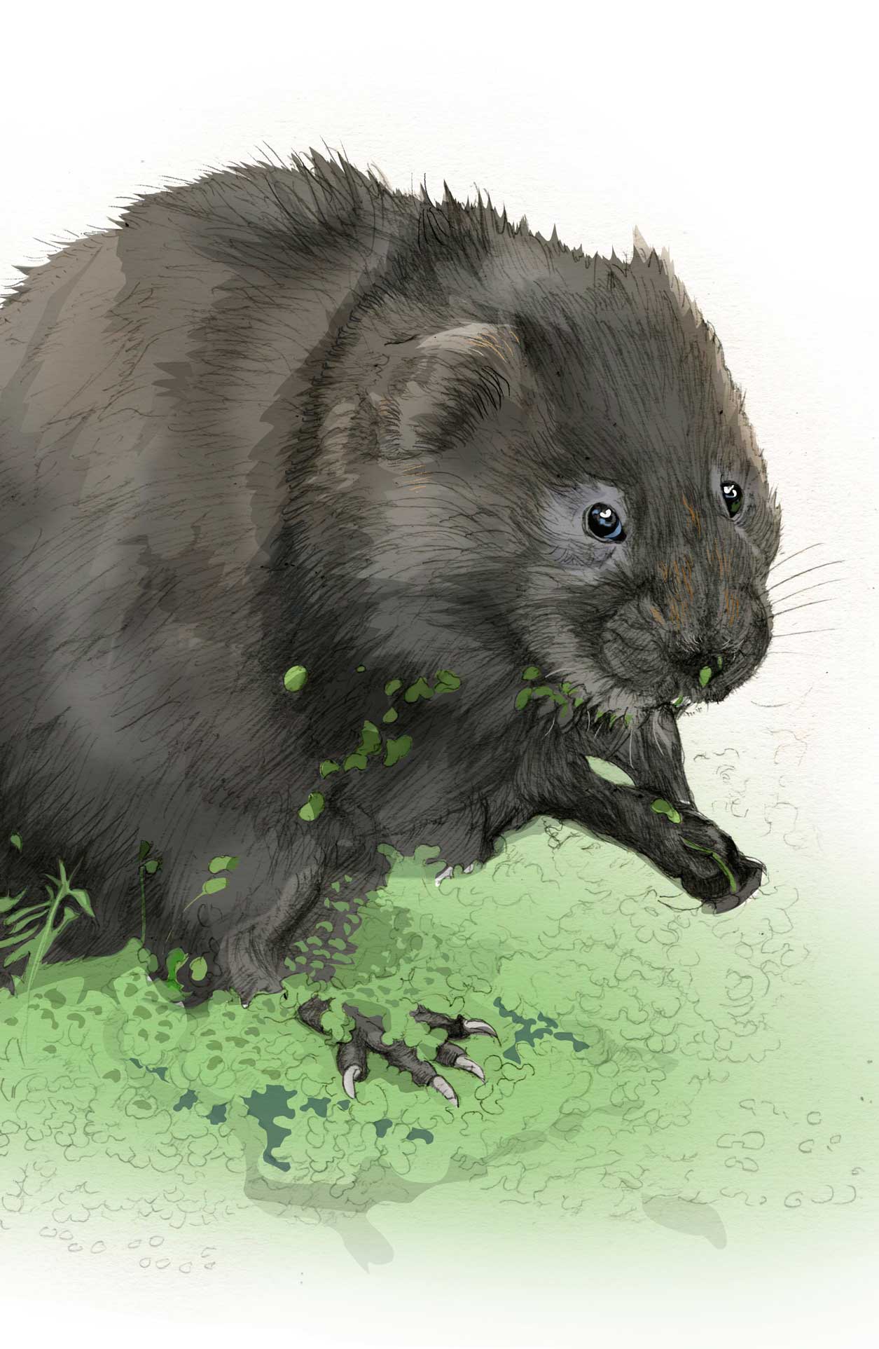
Clean water is essential for the teeming numbers of invertebrates that support the river food chain. Many nationally important species also depend on our healthy rivers. For example, otters and water vole live on rivers throughout the North York Moors National Park, although you are unlikely to see either. The National Park Authority works with partner organisations to protect and enhance water vole populations, in particular.
The River Esk is important as Yorkshire's principal sea trout and salmon river, and the fishery forms a crucial part of the local economy. The Esk also supports a dwindling population of freshwater pearl-mussels, the last such surviving population in Yorkshire. The Pearl Mussel and Salmon Recovery Project seeks to reverse this decline.
Meanwhile, on the upper part of the River Derwent white-clawed crayfish are found. This is the only native species of crayfish in Britain, but it is under threat from non-native species, such as the aggressive plague-carrying signal crayfish.
