1) LiDAR Landscapes
What
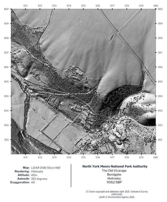
In 2020 we ran a successful LiDAR Landscapes project, allowing volunteers to see the landscape like never before.
 How
How
LiDAR (Light, Detection and Raging) is a technology used by the Environment Agency and others to support flood mitigation. In recent times, this has been used by archaeologists to discover new sites of historic interest. LiDAR allows people to view the landscape in a different way, showing lumps and bumps that you can’t see on the ground. Our LiDAR Landscapes project allowed volunteers to access this new landscape, scouring through over 300 km of LiDAR data and try and discover and enhance existing records.
Why
Enhancing and verifying these existing records allows us and our partners to establish management plans to promote these monuments. It has also provided the opportunity for volunteers to learn new skills. New discoveries have been made, and our dedicated volunteers will be continuing they input in the project by surveying monuments on the ground.
Download the LIDAR Landscapes project report
2) Ampleforth Big Dig
What
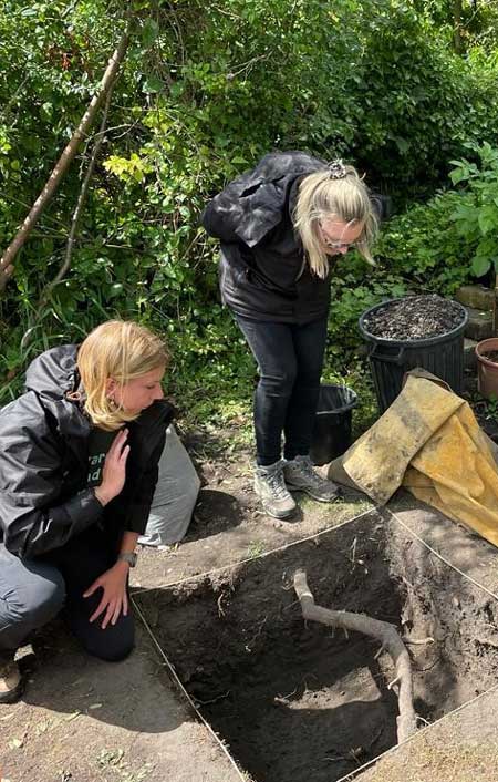
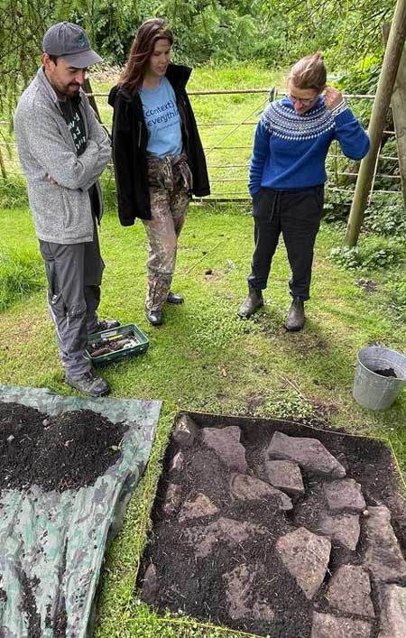
This project was a community-led archaeological test pitting event across the village, aiming to discover and piece together the hidden history of early Ampleforth.
How
DigVentures, a social enterprise company that brings together those who are interested in archaeology, led on the project and recruited volunteers from the village to have a test pit in their gardens. In archaeology a test pit consists of a pit dug (or excavated) 1m by 1m to a depth of 1m. They are used to check for any archaeological (historic or prehistoric material or structural remains) in the topsoil or top layers of the ground.
A series of public engagement talks took place and local schools were also involved.
Why
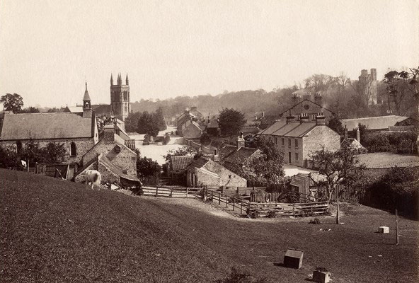
Ampleforth has a rich medieval and post-medieval history, with numerous historic structures (both domestic and industrial) and evidence of continual inhabitation for many centuries. This project fulfils one of the key aims of our project, which is to reconnect local communities to the river Rye landscape.
3) Rye Reflections
What
Rye Reflections is our oral histories project, which focuses on the stories and memories of local people, working, living, and playing around the river Rye and the surrounding landscape.
How
Our consultants at the Teesside University Business School, interviewed over 40 people, gaining insight into their lives and seeing if any common themes appeared. These interviews were held in a variety of ways from phone conversations, Zoom calls and face to face to face.
Why
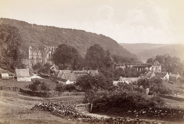
We wanted capture how the River Rye has shaped communities, from childhood play areas to the dramatic flood events. From this we have learned just how people were connected or in fact disconnected to the river. We have used these stories as foundations to built new stories with younger people, and give them a chance to share their experiences of living by the River Rye.
Discover more about Rye Reflections
4) Art (Cause & Effect)
What
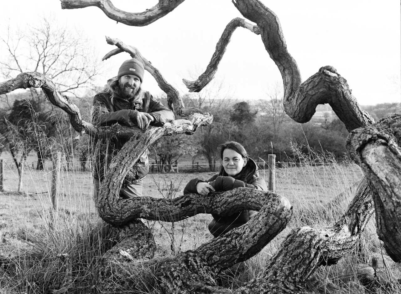
The Cause and Effect exhibition was a collaborative project between partners: the National Trust; the Ryevitalise Landscape Partnership Project; the Howardian Hills National Landscapes and two independent artists: Paula Hickey and John Arnison.
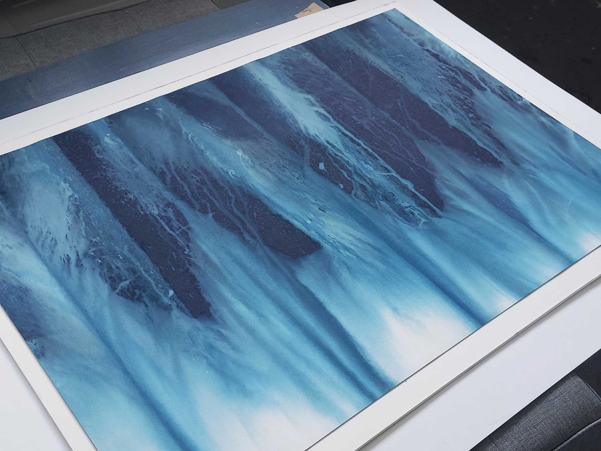
The exhibition was the culmination of a two-year exchange between landscape scientists and artists. At the beginning the artists: Paula, a designer and print maker and John, a photographer knew nothing of the River Rye catchment. The Ryevitalise partners have guided their discovery of this diverse landscape. In response Paula and John have captured the processes and forms that drive landscape change in their own unique artistic languages.
How
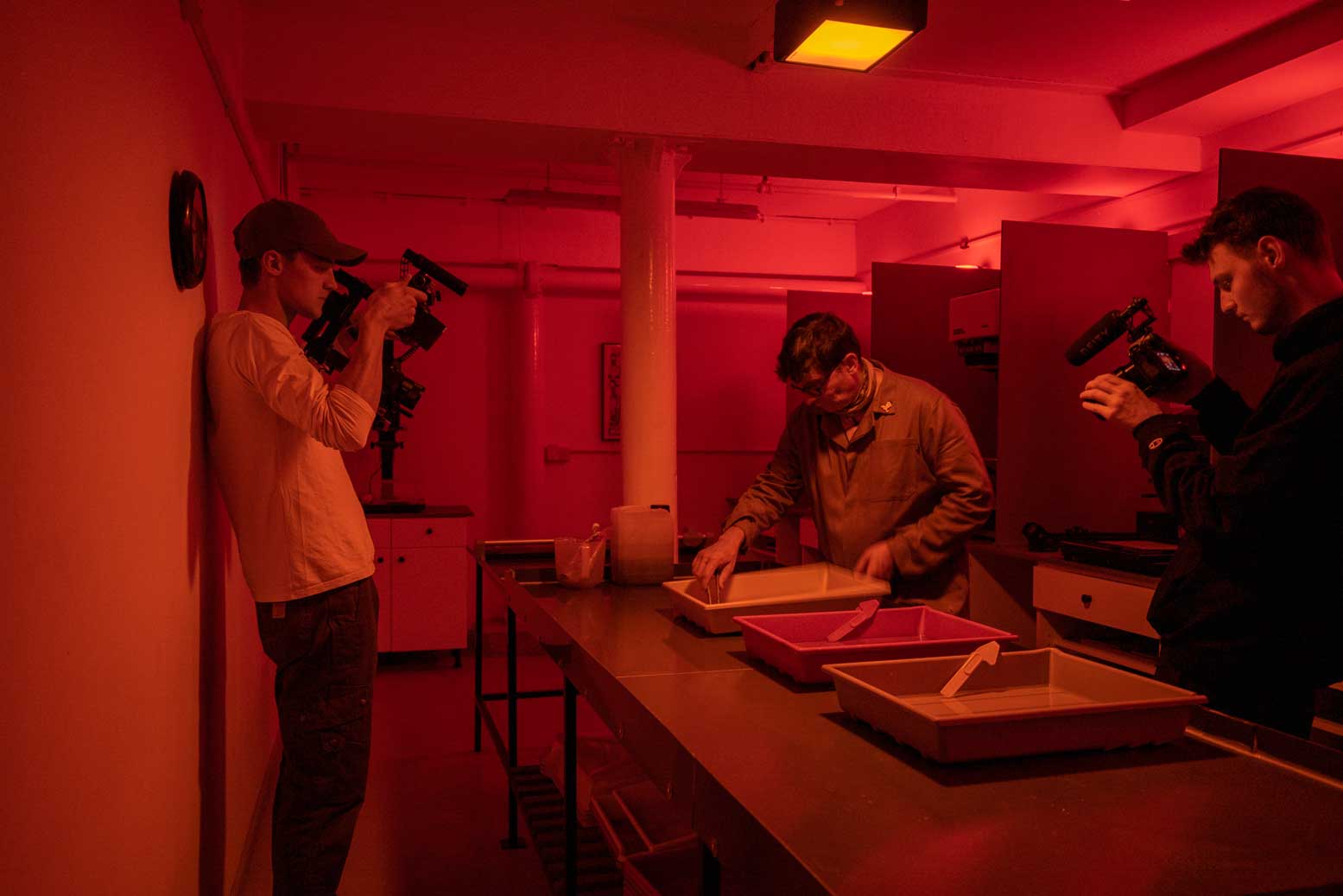
In December 2019 we set out to produce an exhibition to be shown at Nunnington Hall in January 2021. After our initial conversations the world was put on pause, the exhibition was re-scheduled for 2022 and we were graced with an extra year of collaboration. This has enabled the artists to delve deeper into their practice, become more familiar with the River Rye’s landscape, spend meaningful time with landowners and enhance their knowledge of the river through dialogue with the partners. The result is work developed in direct response to these experiences.
Why
We wanted to work with other partners such as the National Trust and the Howardian Hills National Landscape, to bring in their expertise on the arts and the local community. This exhibition gave us the opportunity to offer visitors an insight into rivers and their complex processes. Art can make the landscape more accessible to a different group of people and see the landscape in a different way, and this is what we’ve achieved through this exhibition. Over 33,000 people visited the exhibition, and we received over 100 positive responses to this.
Discover more by exploring the Cause and Effect gallery page
