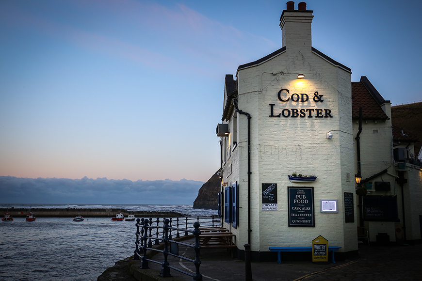
With snickets called Gun Gutter, Slippery Hill and Dog Loup (the narrowest street in the North of England with a width of just 45 cm), you just know the village of Staithes will be brimming with character and historical quirks.
In Old English, the word Staithes means ‘landing place’ and it seems perfect as you look across the small harbour to the two protective arms of the towering headlands, Cowbar Nab and Penny Nab, which deflect the worst of the sea’s fury during a storm.

Vikings first landed here but it was only when the fishing industry boomed that the village landed on the map. It’s hard to imagine now but back in the 1800s Staithes was one of the largest North East fishing ports with over 300 men hauling in the catch on wooden boats called cobles.
Today there are still a handful of fishing boats venturing out to sea mainly for mackerel, lobster and crabs but the herring shoals or ‘silver darlings’ as they were once known are now more likely to be caught by minke whales and dolphins feasting on them as they move down the coast in late summer.
As you wander past tightly packed houses and cottages, and along the cobbled streets and lanes of Staithes, it’s also easy to see why the village was, and still is, a magnet for artists who have been inspired by the quality of the light and landscape for centuries.
From Staithes you can venture up onto the clifftops and follow the Cleveland Way National Trail for a mile to the hamlet of Port Mulgrave. Keep your eyes peeled here to pick out the ruins of the harbour at the bottom of the cliff where locally-mined ironstone would once have been exported.
Please note: there is no access by car down into Staithes old village. There are car parks at the top of the bank, and it is a steep walk down... and up!
